
AL092026 | 2026 season
- Formed
- 2026-10-04
- Dissipated
- 2026-10-11
- Peak wind
- 105 kt
- Lifetime category
- 3
- Min pressure
- 959 mb (lifetime)
- Florida date
- 2026-10-10
- Approach
- gulf
- FL regions
- NW2
- Center landfall
- yes (1)
- ENSO (ASO ONI)
- pending (season not yet final)
- Peak surge (FL)
- not yet curated
Landfall estimated: this storm crossed the Florida coast between two of NHC's 6-hourly track readings, so its landfall point, time and strength (about 90 kt near 30.31N 86.59W, 2026-10-10 0031Z) are estimated from the readings on either side, rounded down. NOAA's official landfall details will replace this once the season is finalized.
Surge: no curated record yet. An NHC Tropical Cyclone Report exists for storms of this era; this one is awaiting verification against it. Values are only shown after being checked against an NHC source (see methodology).
Track
- below hurricane strength
- Cat 1
- Cat 2
- Cat 3
- Cat 4
- Cat 5
- first track point
- landfall (HURDAT2 L record, colored by intensity there)
- Florida-relevant point (strongest fix on the FL impact date)
- Florida Straits / Cuba shelf corridor (where track wobble is measured)
HURDAT2 best track. Coastline is stylized for orientation, not a boundary source.
Compare this track to other storms →
Intensity
Maximum sustained wind over the storm lifetime, with Saffir-Simpson thresholds and the Florida-relevant date marked. All values from HURDAT2.
Satellite Imagery
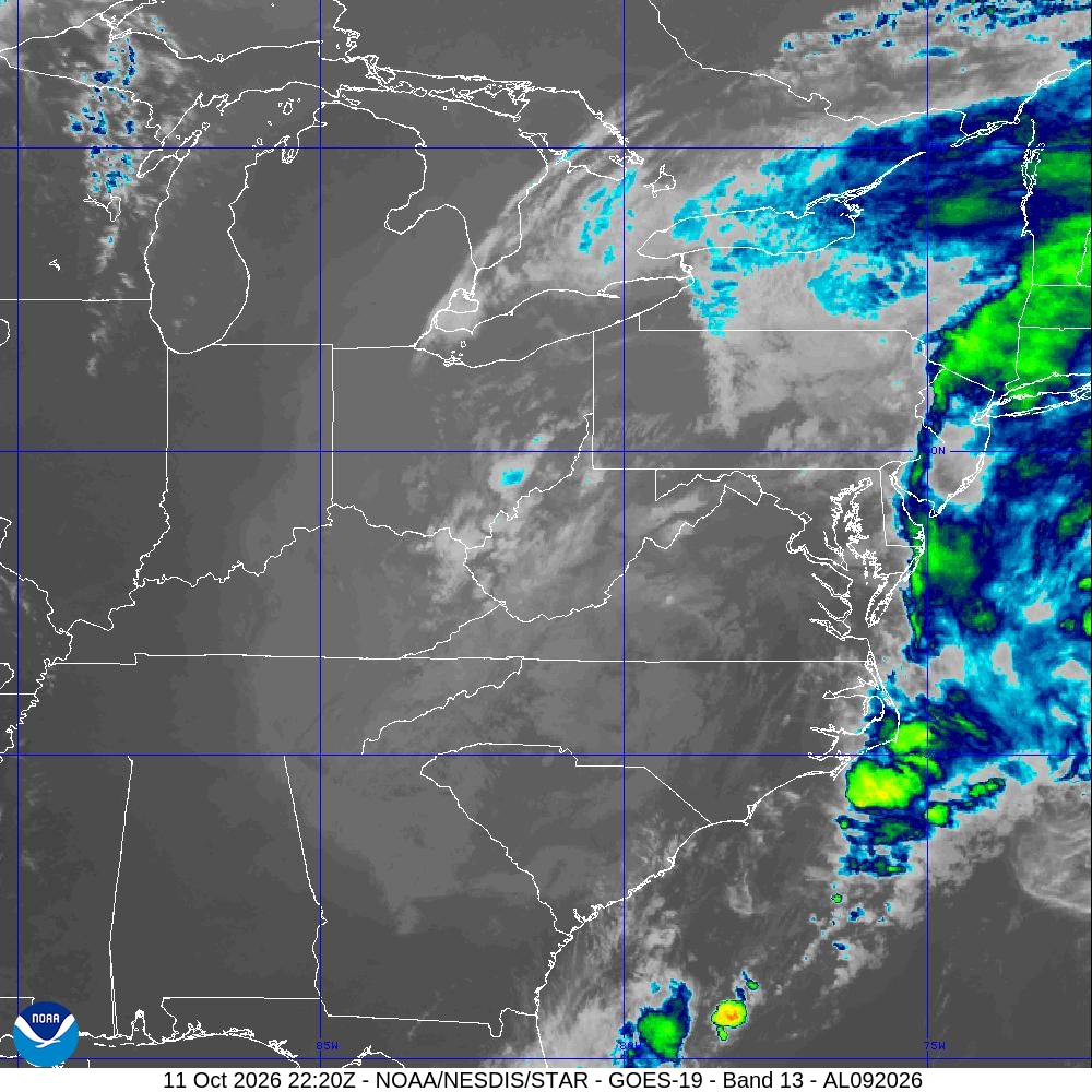 Archived satellite IR (Band 13) -- view the full history & slider
Official Sources
How This Record Was Built
join: provisional_bdeck_interpolated_landfall | confidence: provisional | enrichment v2.6.0 | status: provisional_pending_reanalysis (Sourced from operational b-deck, not yet confirmed by NOAA's annual HURDAT2 + Impacts/Landfalls release. Landfall intensity and region are heuristic and may be revised.)
Impact facts from the NOAA Continental US Hurricane Impacts table; track and intensity from NOAA HURDAT2; ENSO phase from CPC ONI. Full rules on the methodology page.