
AL022026
Archived satellite infrared imagery (Band 13, clean longwave window, 10.3um), courtesy of NOAA/NESDIS/STAR. Colder cloud tops indicate more intense convection. This is historical observation, kept permanently once captured -- never a forecast of any kind.
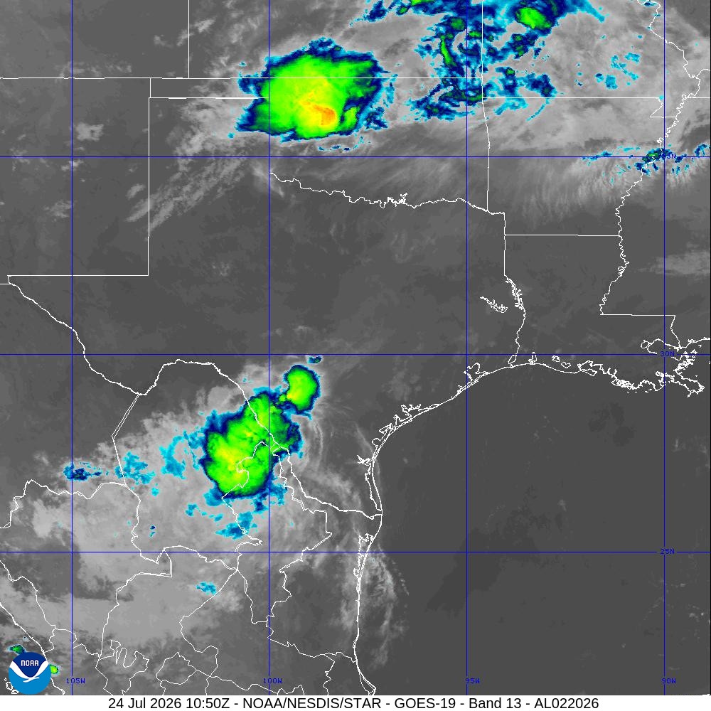
640 frame(s) archived, 2026-07-19T15:10:00Z through 2026-07-24T10:50:00Z UTC.
This page's own URL is a permanent link to this storm's imagery archive, regardless of whether the storm is still active.